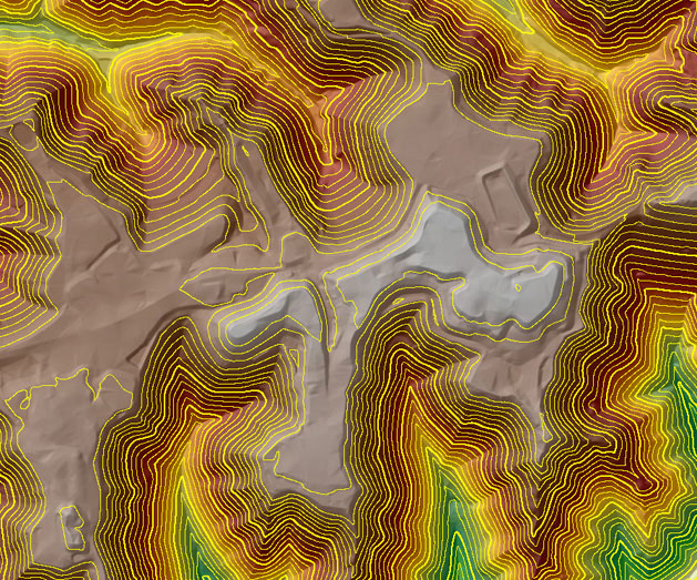
A digital terrain model (DTM) is the basis for all contouring, orthophoto, TIN calculations and other surface modeling. The DTMs collected on the Match-T/DATEM workstations are comprised of mass points and breaklines, which delineate various terrain defining features, such as ravines, ridges, tops and toes of slopes, as well as mass elevation grid points used in flatter areas. Unless client specified, CGS always collects a full DTM on every project in order to provide the most accurate surface model possible in order to meet and exceed ASPRS standards.
CGS has capabilities to extract Digital terrain and surface data by using auto correlation and stereoscopic data compilation methods at mapping scales ranging from 1:500 to 1:10000. Apart from Digital terrain compilation CGS has capabilities to produce manual contours also at client’s specific contour intervals for topographic mapping applications. The terrain data is presented in standard TIN, GRID, Vector and Raster formats.
Digital Terrain Modeling

Ortho Photo & Mosaic
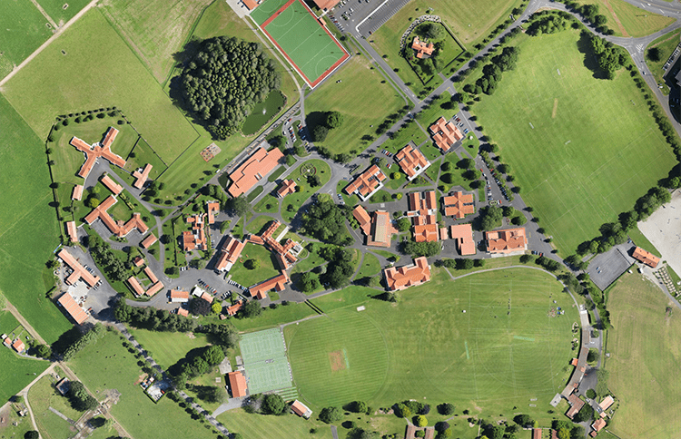
At CGS we perform ortho production system following a predefined and definite process which is based on project planning, rectification, tonal balancing, mosaicing using seamlines and quality assessment by utilizing the sophisticated tools. we are confident to deliver high quality imagery product using contrast stretches, advanced filtering routines, re-sampling and radiometric correction as necessary.
- Digital Orthorectification
- Semi-Rectification
- Mosaics

