CGS is a growing offshore Geomatics data solutions provider, based out of Hyderabad, India. CGS offers a number of services for Photogrammetry data end users and suppliers.The core of our competency lies in our experience of providing geo solutions to our clients in a number of domain areas. We integrate knowledge, technology, people, and business with geographic zones to develop innovative and potential services to global clients.We stand out from other competitors not by price or volume, but by investing time to understand our client’s needs and making sure there is a clear and measurable compatibility, which will ensure the benefit of our clients as well as our own.We place our efforts and priorities on first obtaining the trust and confidence from our clients.


Welcome To Capital Geo Solutions
CGS Services

Aerial Triangulation
CGS performs AT by experienced technicians and uses automatic and manual processing software that enables us

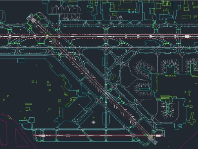
Digital Mapping
Stereo digitizing is performed on Leica Photogrammetry suite / SSK digital photogrammetric workstations.

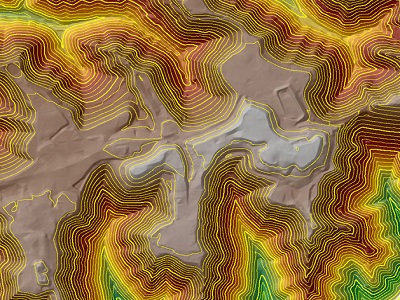
Digital Terrain Modeling
A digital terrain model (DTM) is the basis for all contouring, orthophoto, TIN calculations and other

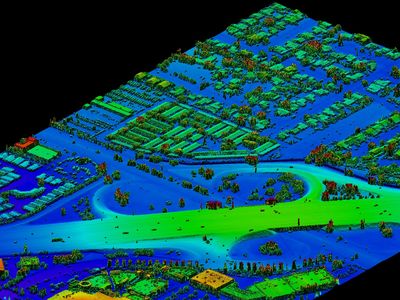
LiDAR Data Processing
CGS has carried out many projects for LiDAR data classification. It is capable to classify both air born and terrestrial
