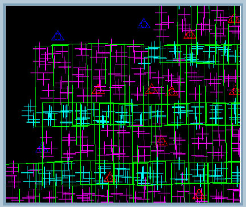
CGS performs AT by experienced technicians and uses automatic and manual processing software that enables us to avoid gross errors, assuring that the data is within required tolerances. Stripwise and bundle block adjustment calculations are performed for the whole project simultaneously.All the processes are done step by step with precise and well defined tie points. Strips are integrated into number of blocks, depending on the project size.
Depending on the project requirements CGS will adopt Automatic or Manual measurement of Pass points and Tie points to meet client accuracy tolerances.
Aerial Triangulation is performed with the support of Preprocessed GPS/IMU data and AEROControl, Adopting all camera calibration report of boresight misalignments to get accurate results.Finding and solving of geometrically critical areas with additional inputs.The robust adjustment is repeated internally to achieve the predefined accuracy levels.CGS will supply AT project in the format as requested by the client.
Aerial Triangulation

